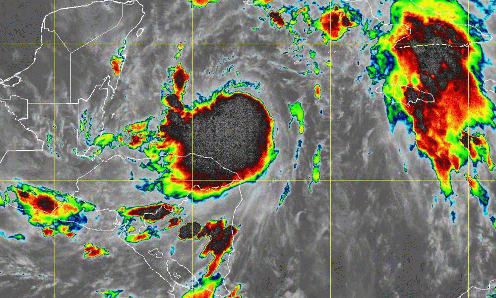
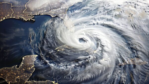
The National Hurricane Center is forecasting that Tropical Storm Zeta will come ashore somewhere between Louisiana and the Florida Panhandle at or near hurricane strength later this week.
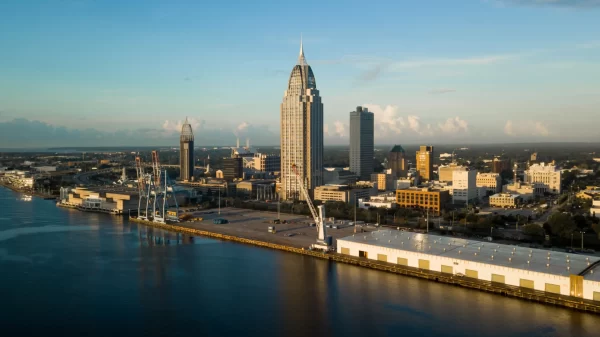
Hurricanes and tropical storms can and do change direction in the Gulf of Mexico, but at this point, the forecast is for it to come ashore at or near the eastern Louisiana Gulf Coast. The storm could be felt along the Alabama Gulf Coast, which is still in the process of recovering from Hurricane Sally in September.
All Alabamians, but particularly residents of Mobile and Baldwin Counties are being urged to continue to monitor the progress and track of Zeta as it leaves the Yucatán Peninsula and enters the northern Gulf of Mexico. The storm is expected to bring storm surge, heavy winds, heavy rainfall and isolated tornados wherever it comes ashore.
ABC 33/40 Birmingham television meteorologist James Spann said that Zeta should be a hurricane by early this morning as it approaches the tip of the Yucatán Peninsula. As Zeta moves into the northern Gulf of Mexico Wednesday, it should drop below hurricane strength again due to increasing shear and the cooler shelf waters.
The NHC is forecasting Zeta to arrive along the Southeast Louisiana coast late Wednesday or Wednesday night.
Zeta is expected to bring widespread rain across Alabama after midnight Tuesday night, and Wednesday will be wet with rain much of the day. The rain will continue into Wednesday night, and will end from west to east during the day on Thursday.
Rain amounts could be between one and three inches for most of inland Alabama. For now, no major flooding issues are expected in Alabama.
State officials are continuing to monitor Zeta. At this point, there are no plans to request evacuations of Alabama residents, but residents of coastal Alabama and low-lying areas should pay close attention to emergency management authorities as the storm potentially approaches.
2020 has had more named storms and hurricanes than any year on record.


