By Brandon Moseley
Alabama Political Reporter
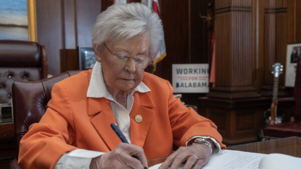
Tuesday, February 24 Alabama Governor Robert Bentley (R) declared a State of Emergency for all Alabama counties in preparation for a winter storm that is expected to hit most of Alabama on Wednesday.
Governor Robert Bentley said, “By issuing a State of Emergency, I have directed all state agencies to take necessary actions to be prepared to respond to the anticipated winter conditions including sleet, ice and snow. We will actively monitor the storm as it begins to hit the state and are prepared to respond to any requests for assistance.”
The National Weather Service offices in Birmingham are predicting a major snow event.
The NWS wrote on Facebook, “We know everyone wants as many details as they can get in regards to the snow potential for tomorrow (Wednesday). However, there’s one very important thing that everyone should remember. Don’t get too caught up in the exact location of the forecast snow/rain line on the graphics you see. There is always an inherent degree of uncertainty when it comes to winter weather forecasting in the South. We don’t want to delve into the complicated process of snowfall forecasting, but we do want you to be aware that even our best snowfall forecast is never going to be 100% correct. We wish more than anyone that we could predict snowfall totals down to the street level. I mean, let’s be honest, it sure would make our jobs a lot easier if that were the case. Regardless of the struggles we face in creating a snowfall forecast, we will ALWAYS strive to give YOU, the public, our best forecast based on the information we have available. Fulfilling our mission of protecting lives and property is, and always will be, our top priority.”
The NWS continued, “While we have high confidence in snowfall occurring Wednesday, there is less confidence in the southern extent of the snowfall (due to uncertainties in exact location of the rain/snow line). Also, there will most likely be a very sharp cutoff between rain and snow. Therefore, even a slight adjustment in the track of the low pressure system could produce significant changes to the snowfall forecast. For example, a forecast error of only 25 miles could result in some areas receiving little to no snow or up to 6 inches of snow. It’s very important that you stay weather aware by frequently checking the latest forecast information. PLEASE make sure you check the forecast in the morning BEFORE heading out the door!”
Various portions of the state are expected to experience ice, sleet, snow and freezing rain beginning on Wednesday morning and lasting through Thursday. Some parts of the state south of Huntsville are forecast to receive as much as 6 to 8 inches of snow.
The Governor announced that the Alabama Emergency Management Agency is activating the State Emergency Operations Center in order to monitor the storm and assist county Emergency Management Agencies as needed. State law enforcement agencies have coordinated state resources in order to respond to stranded drivers.
Additionally Governor Bentley has authorized 250 Alabama National Guardsmen to prepare to respond to any emergency requests for assistance. Alabama Department of Transportation (ALDOT) crews are spreading sand to keep the roads passable, but motorists are advised to stay home and off the roads.
The State of Emergency will be effective at 6:00 a.m. Wednesday.

